Things to do & places to visit in Rangpur Division, Bangladesh

Rangpur Division #8 destination in Bangladesh 2023. The average rating score is 4.00 based on 2 traveler reviews, of 3 attractions. Timezone: Asia/Dhaka, current date and time: Friday, May 10, 2024, 6:41.
Top things to do
Top places to visit
- 4.0 Tetulia Tea Garden (1 review)
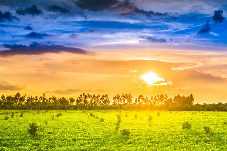
-Tea Garden on plain fields
Spent < 1 hour Gardens
Full of medium size tea trees miles after miles. Every side of the highway you can see or want to enter. Lovely. See more..
- 4.0 Bhitargarh Fort (1 review)
-Remains of an ancient fort city built in and around the 5th century AD
Spent More than 3 hours Historic Sites • Ancient Ruins
Bhitargarh was a walled city state, the largest in the northern Indian subcontinent,[5] and used to be the seat of King Prithu, popularly known as Maharaja.[6] It used to be an independent city state with a sovereign government till the 13th century. Very little is known about its last sovereign, Prithu Raja, who was believed to have committed suicide because of his religion. There is a legend that Prithu Raja committed suicide along with his army at the Maharaja Dighi to protect their purity from being sullied by an invading force from the impure Kichok Tribe, which had attacked the city. The tribe is believed to be from present-day Cooch Behar District in India, located to the north of the city.[3] In the ancient period, Bhitargarh served as a node of important trade routes, including the Southwest Silk Road, linking the ancient kingdoms of Tibet and Yunnan with Bengal and eastern India. Its location on the bank of Karatoya River made it easier to access Tibet through the city. Its influence in connecting the ancient trade routes in the region extends from Magadha to as far as Southwest China through the Brahmaputra Valley as well as western and southeastern bank of Mekong River. Archaeological investigations assert that the city's territorial boundary included four "concentric quadrangles", separated by ramparts built with earth and bricks. The ramparts were further bolstered by the presence of rectangular bastions and buttresses found at regular intervals. Each of the quadrangles were also surrounded by moats.[6] These ramparts were built to protect the city from both floods and foreign invasions.[3] The fortified structural design of Bhitargarh conforms to the construction recommendations defined at Arthashastra. See more..
- World's Largest Mango Tree (0 review)
Spent < 1 hour Points of Interest & Landmarks
See more..

