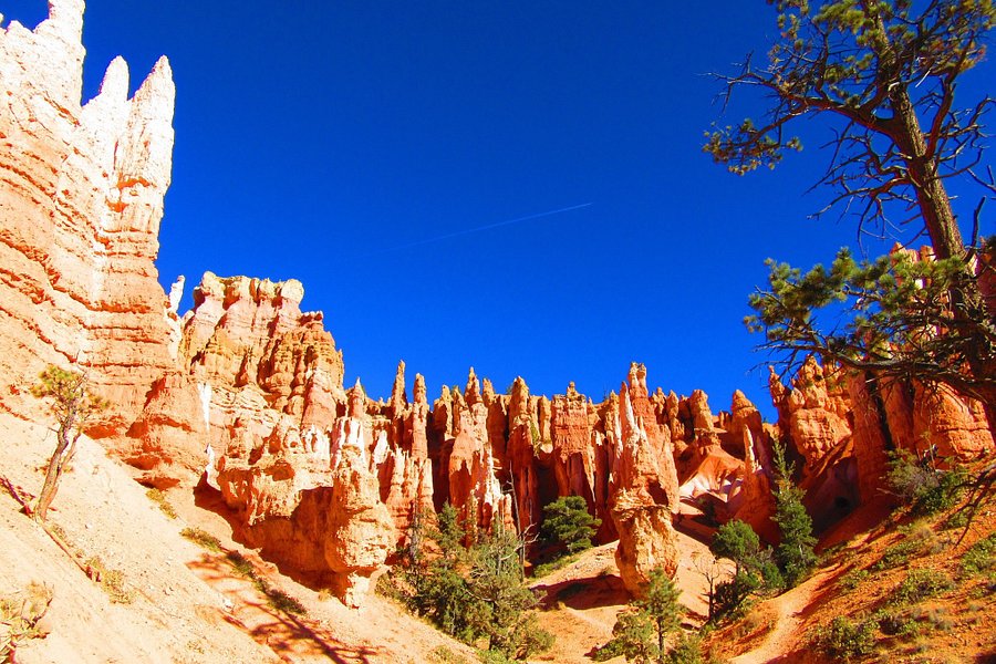
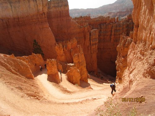
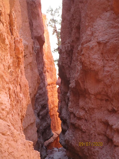
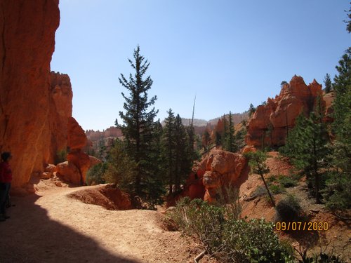
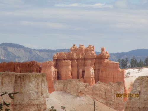
Navajo/Queens Garden Loop, Utah, United States
5.0 (1.759 reviews) Spent Ranking #3 in Bryce Canyon National Park Hiking Trails
Incredible Views But Strenuous Hike
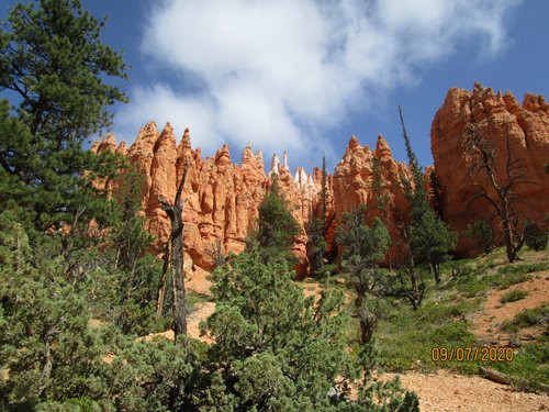
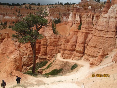
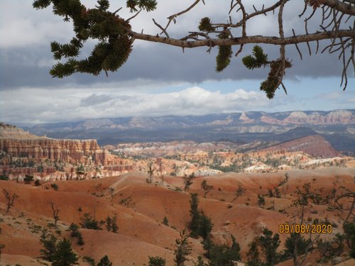
2.9-mile hiking trail that leads to rock formations shaped like Queen Victoria and her garden.
Address
, Utah, United States.
Mobile
Website
http://www.nps.gov/brca/planyourvisit/navajotrail.htm
Current local date and time now
Sunday, May 05, 2024, 11:13
User Ratings
5.0 based on (1.759 reviews)
Excellent
91%
Good
8%
Satisfactory
1%
Poor
0%
Terrible
0%
Reviews
-
5Ava F. 5:00 PM Oct 17, 2022
Incredible Views But Strenuous Hike
We started with the Peakaboo Trail, which leads into the Navajo Loop Trail. The total mileage for this hike is about 6 miles. We then added on the Queen's Garden Loop which added an extra 2-3 miles to the total hike. Bring water, bring snacks, and wear sunscreen!! You will be directly under the sun for a decent portion of it, and because the hike alternates between downhill and uphill very frequently, you will sweat a lot and need ample amounts of water. I think both experienced hikers and beginners can do this, but beginners will likely move at a slower pace, so plan for this to be your only hike that day. It took us about 5 hours to complete the entire hike, but we were exhausted by the end of it due to how physical some parts of the hike are. Definitely not a stroll, but worth it for the incredible landscape. If you have time or get there early, I would recommend having lunch or spending some time on the rim trail because the views of the entire park are breathtaking.
-
4ELKW 5:00 PM Apr 15, 2020
can take a closer look to the hoodoos when you hike
We take about 2 hours to finish the trail, we go with 2 young kids (3 & 6), for some portion, you need to take your kid’s hand (esp. the younger one, need to take his hand all the time), to avoid any accident, because there is no fence, it will be seriously hurt if you drop off from the trail). People suggest to walk the trail in the early morning to avoid heat sun, we go there at about 8:30am, and finish in 2 hours, still not much sun light can reach the hoodoos, so it’s fine, but after 10am, there will be increasing number of tour groups, so I also suggest better go there earlier to avoid large crowd. In this combination loop trail, you can get 2 benchmark of “I hike the hoodoos”. There is no toilet along this trail, so better go restroom before the hike. We start the trail at sunrise point, and end up in sunset point, when we walked up to the sunset point, there should be s route, the “2 bridges” and “the wall street”, but as the road of “2 bridges” is closed at the time we went, we need to walk up the “wall street”, it’s steep and narrow, and has wall on both side, for me (have knee pains if hike long) it’s better to walk up the wall street rather than walk down, as you know walk down the slope or stairs hurt the knees much more, I am ok with the walk up, but not ok if walk too much downwards. Although it’s more hard to walk up stairs/steep slope, but less hurt to the knees. So it you don’t want your knees to be hurt so much, I suggest you start at sunrise point, then walk up to the sunset point. From sunset point, you can either take shuttle to go back to sunrise point to get back to your car, or walk the rim trail back to sunrise point, the trail is paved, easy to walk (it takes about half hour to walk between the sunrise and sunset point, with some photo taking during the walk).