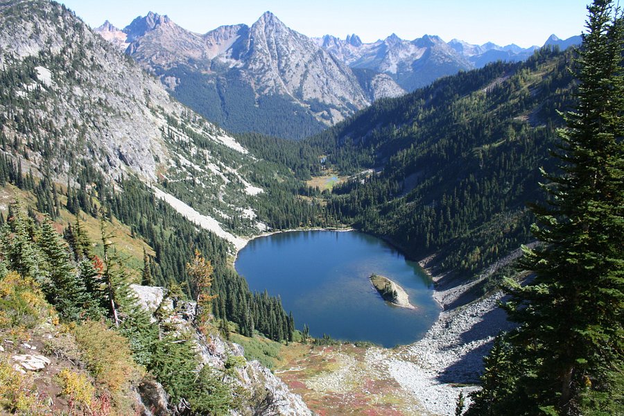
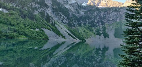
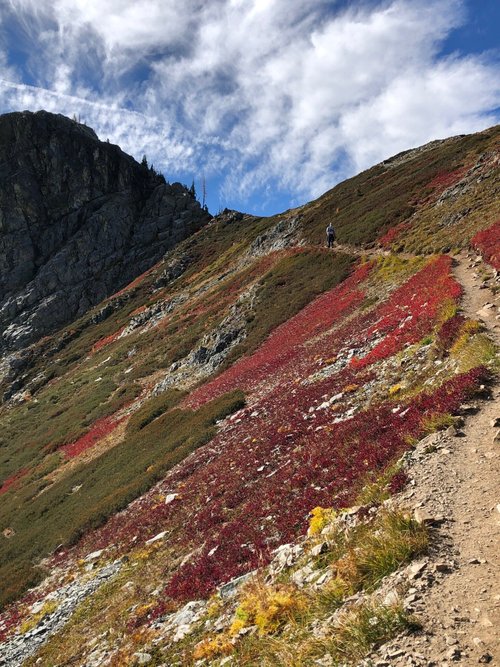
Maple Pass Loop, Washington, United States
5.0 (58 reviews) Spent Ranking #5 in North Cascades National Park Hiking Trails
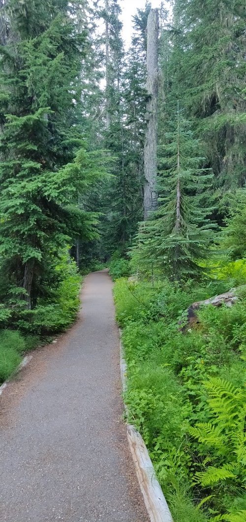
Heavily trafficked... Start early
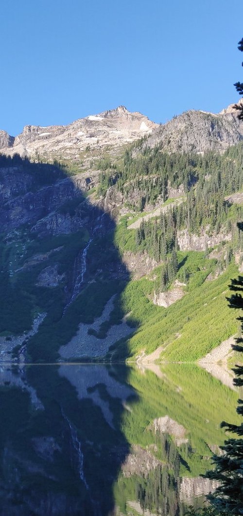
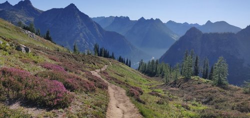
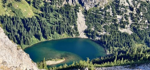
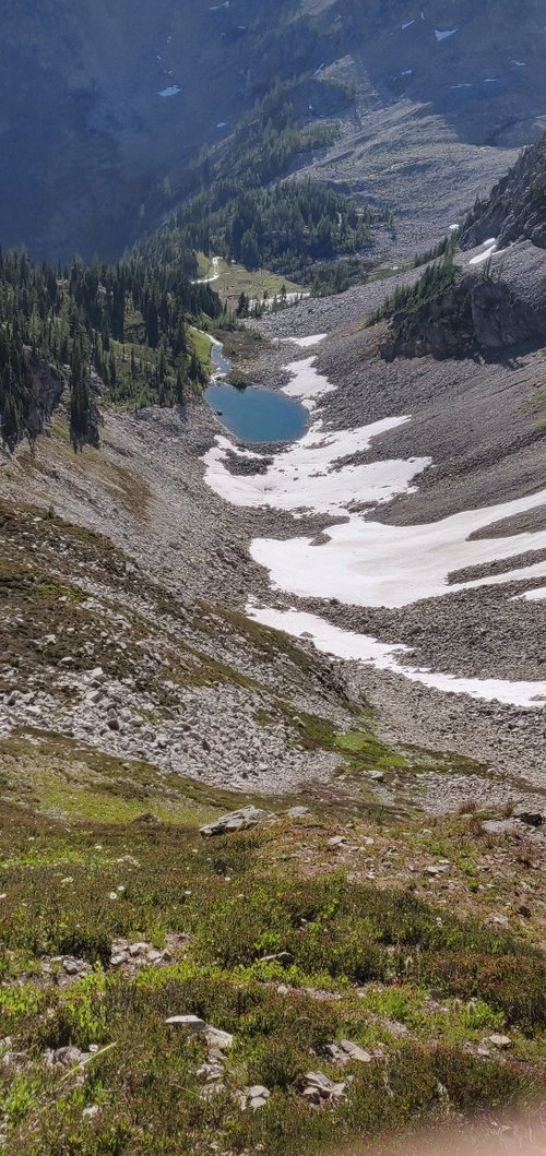
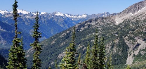
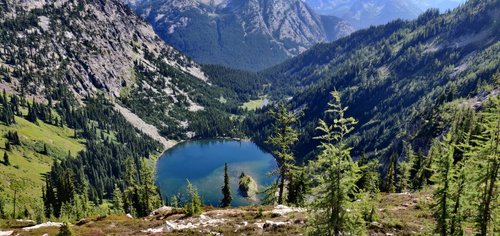
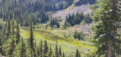
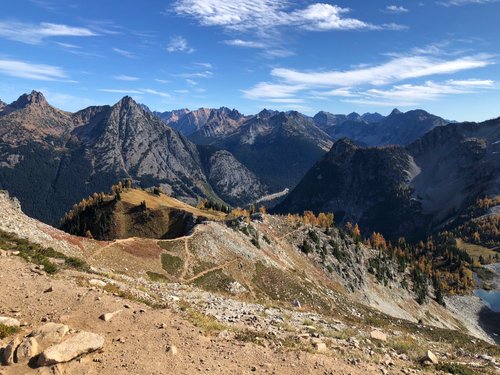
A scenic trail passing by lakes and meadows.
Address
, Washington, United States.
Current local date and time now
Sunday, May 12, 2024, 16:22
User Ratings
5.0 based on (58 reviews)
Excellent
95%
Good
5%
Satisfactory
0%
Poor
0%
Terrible
0%
Reviews
-
5Gamecocktraveler 5:00 PM Oct 15, 2020
Amazing views of the Cascade Mtns
Best hike! I couldn’t stop taking pictures because the views were amazing. Hiking sticks were very helpful. We went counter clockwise. It was a gradual incline to the top and not too steep back down. Most hikers were wearing masks or put them on when we passed. We started around 8am. Took us about 6 hours total with lunch at the top and lots of breaks for my 12 year old. Take plenty of water. I never felt unsafe. Well marked path once you’re on it. Weather was much cooler and easier in the early morning hours. Bugs were not a problem (october). Parking was available. Don’t forget to pay your $5 fee at the box or display your pass.
-
5AnnapolisHiker_MD 5:00 PM Aug 27, 2021
Great views in all directions
My wife and I were visiting North Cascades for 2 days and were looking for a hike to substitute for Cascade Pass. The rangers at the Visitor Center recommended the Maple Pass Loop. It was not in our plans but we tried it anyway and we were very glad we did. The only negative was that it took us over an hour to drive from Marblemount to the trailhead which was about 52 miles away. The day we went was a Monday so crowds were not expected but the parking lot still filled up. Luckily the trail was not overly crowded. We did the hike in the counterclockwise direction which was suggested by our Falcon guidebook and this seemed to be the best way. The uphill was relatively easy until the last mile or so and then there were some really steep parts just before reaching the summit. The views all the way up were quite nice and lunch at the top was spectacular. Temperatures were relatively mild (high 50's) when we went and there was some light rain going up but it was a real surprise to reach the summit and snow started falling as we sat down for lunch. It only lasted a couple of minutes. The down side was not nearly as scenic as going up and seemed more difficult because of the numerous tree roots and rocks on the trail. Also be aware that this is US Forest Service land and not National Park and they have a $5 charge for each car unless you have a National Park pass. Total distance was about 7 miles and we completed this in about 5 hr including the lunch stop. Highly recommend this hike to all.