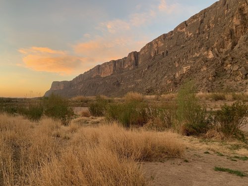
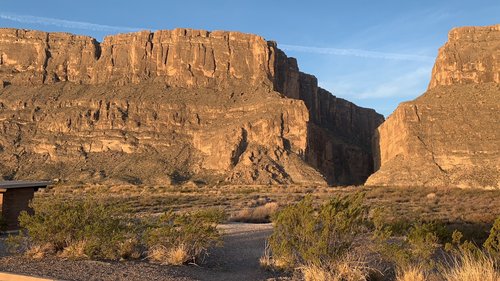
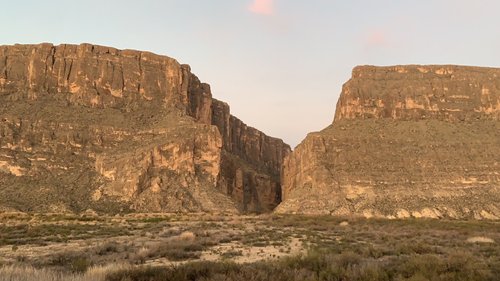
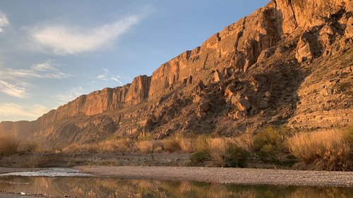
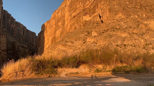
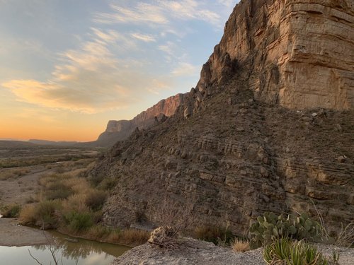
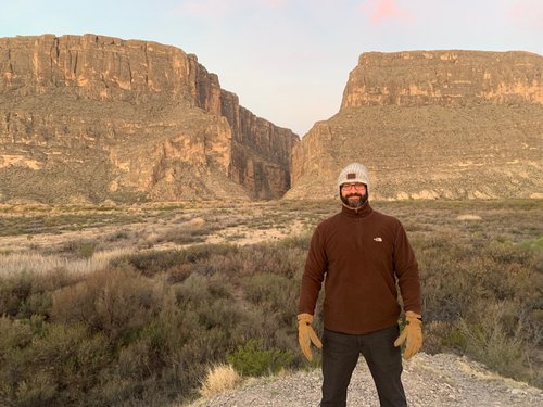
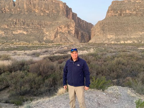
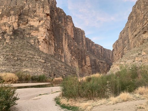
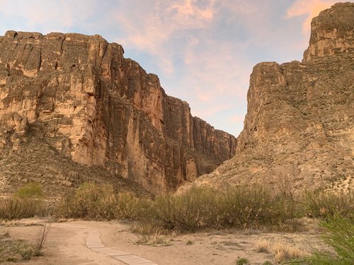
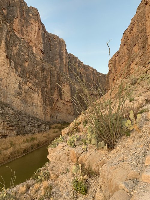
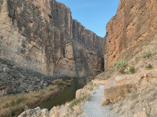
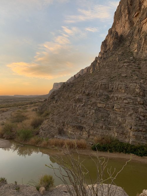
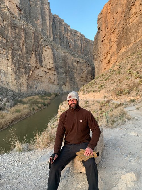
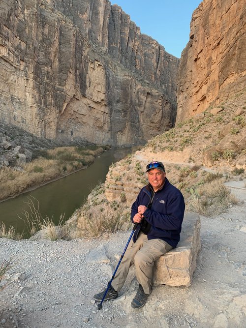
Santa Elena Canyon, Texas, United States
5.0 (704 reviews) Spent Ranking #3 in Big Bend National Park Canyons
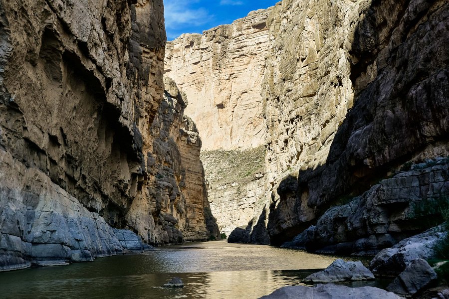
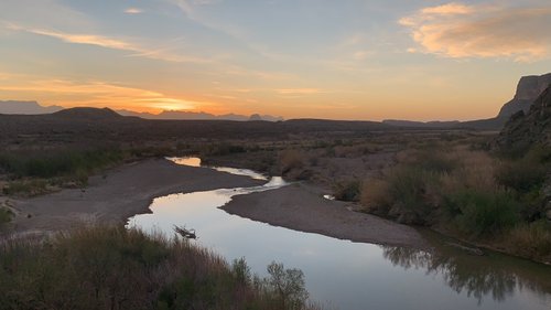
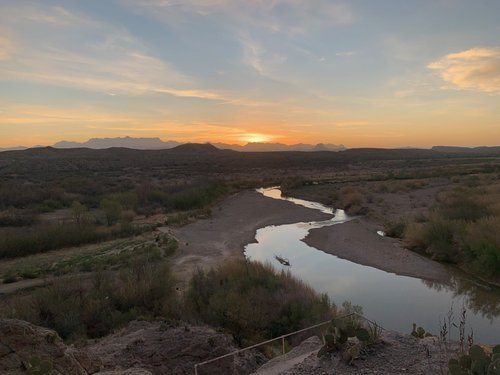
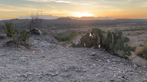
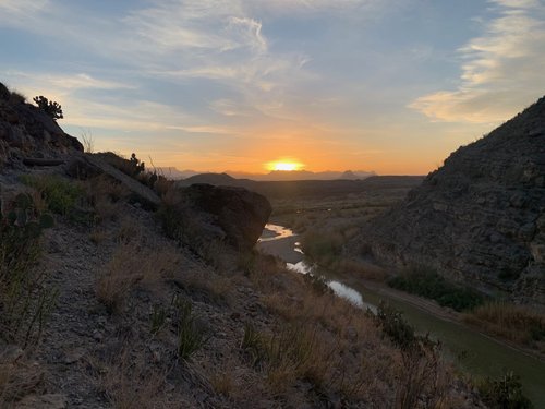
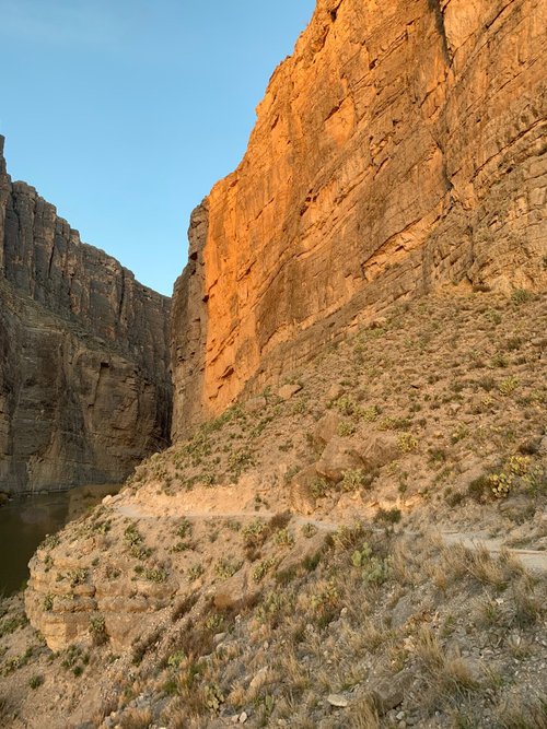
Incredible at sunrise
Borders the western edge of Big Bend National Park.
Address
, Texas, United States, Postal Code: 79834-0129.
Mobile
Website
http://www.nps.gov/bibe/planyourvisit/secyn.htm
Current local date and time now
Wednesday, May 15, 2024, 3:21
User Ratings
5.0 based on (704 reviews)
Excellent
81%
Good
16%
Satisfactory
3%
Poor
0%
Terrible
0%
Reviews
-
5Kathryn N 5:00 PM Nov 3, 2021
Spectacular Scenery
This is a perfect hike if you are limited on time. It may take about 2.5 hours if you stop to enjoy the views and take photos. There is a moderate ascent but if you stop to rest it is not a difficult hike. The views are spectacular of the green Rio Grande and unusual rock formations of the canyon.
-
4SnowyShasta 5:00 PM Nov 28, 2020
Neat perspective on the water
We visited the Santa Elena Canyon a couple times. Once near sunset, and again to hike the trail a couple mornings later. At sunset it was pretty, but note that looking into the canyon you are looking mostly west, so we couldn't really get pictures from the nearby lookout point, since they were straight into the sun. From the parking area, you walk down to the beach right at the mouth of the canyon, where there were a number of people enjoying the water. To get to the trail, you head right, and then can either cross the creek or head upstream. In October when we were there, the creek was not running; although it looked like there was water it was just the Rio Grande backing up it. By walking a few hundred yards away from the river, we reached a dry spot and were able to cross without getting wet. This crossing does add time to your hike, and there are some steep spots on the opposite side, but we were happy with the added exploration. After crossing the creek and getting back to the Rio Grande itself, the trail switchbacks up and then heads down until you are at water level again inside the canyon. The trail ends at solid rock, but you can go perhaps half a mile or so before that point. It took us right about half an hour to get to the end of the trail, and then another half hour to return. We enjoyed this hike and seeing the river from this perspective, although we did like the Boquillas Canyon trail, at the opposite side of the park, a little better (perhaps because it was less crowded?). I would recommend doing both if you have time.