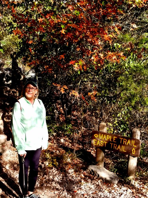
Lost Maples East Trail, Texas, United States
4.5 (27 reviews) Spent Ranking #3 in Bandera County Hiking Trails
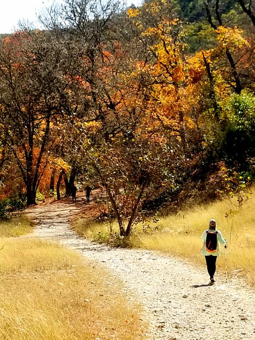
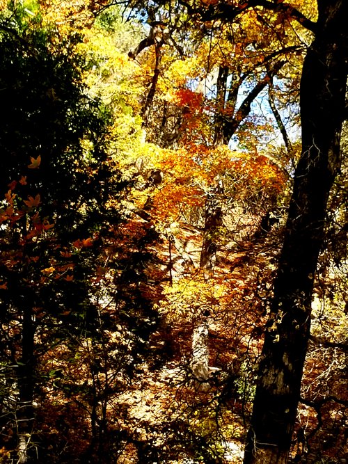
We found Fall in Texas
This trail arrives at a scenic overlook of Sabinal Canyon.

Address
, Vanderpool, Texas, United States.
Current local date and time now
Tuesday, May 14, 2024, 5:54
User Ratings
4.5 based on (27 reviews)
Excellent
63%
Good
33%
Satisfactory
4%
Poor
0%
Terrible
0%
Reviews
-
4M J 5:00 PM Feb 5, 2020
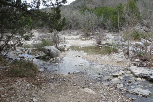
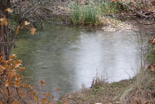
Variety of terrians, nice views, river crossings
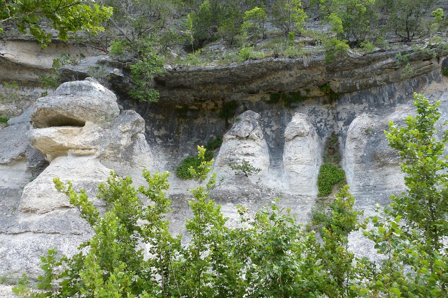
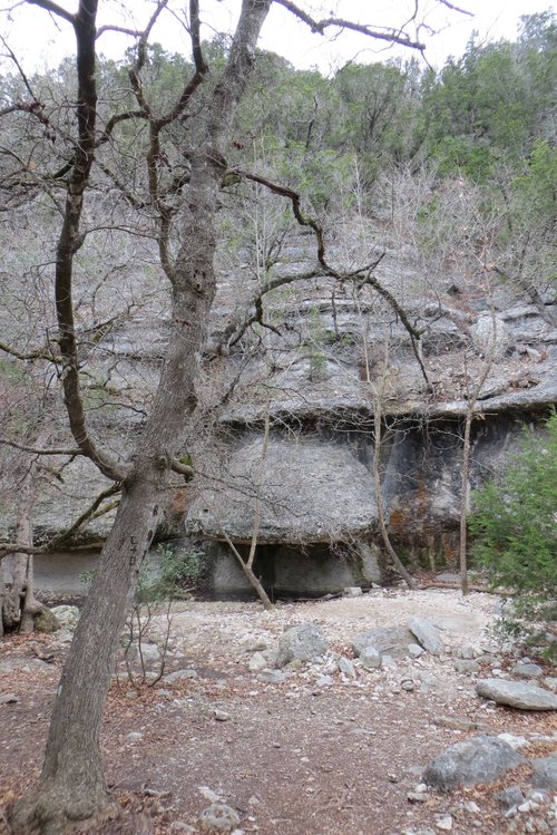
My husband and I spent a half day in Lost Maples SNA. The East trail is flat for the first 2 miles and has several river crossings. We were able to cross the river by walking on rocks. During those 2 miles, we saw Monkey Rock (interesting formation) and the Grotto. The Grotto had graffiti scratched into the rock. Too bad. The next mile was uphill and steep. After that, the next half mile was flat and had a nice view. The last third of a mile was downhill and steep. From there, we took the East-West trail one mile back to the day use area then walked a half mile back to our vehicle. That was a total of a 5 mile hike.
-
44ElevenTechs 5:00 PM Nov 29, 2017
Perfect Hike Day
At first the kids were surprised because their electronics do t work here but shortly after their imaginations kicked in and had some good old fashion fun. I've never heard my son talk so much. That in itself was rewarding.