Mount Papandayan, Java, Indonesia
4.5 (215 reviews) Monday: 12:00 AM - 11:59 PM Spent Ranking #1 in West Java Volcanos
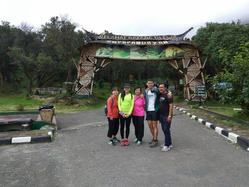
1st hiking during New Normal due to C-19 Pandemic
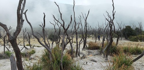
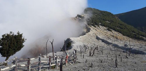
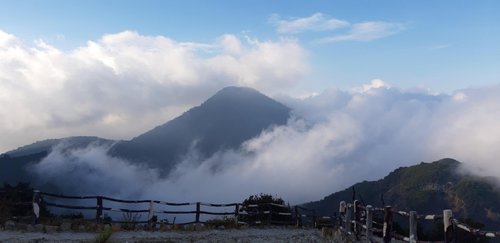
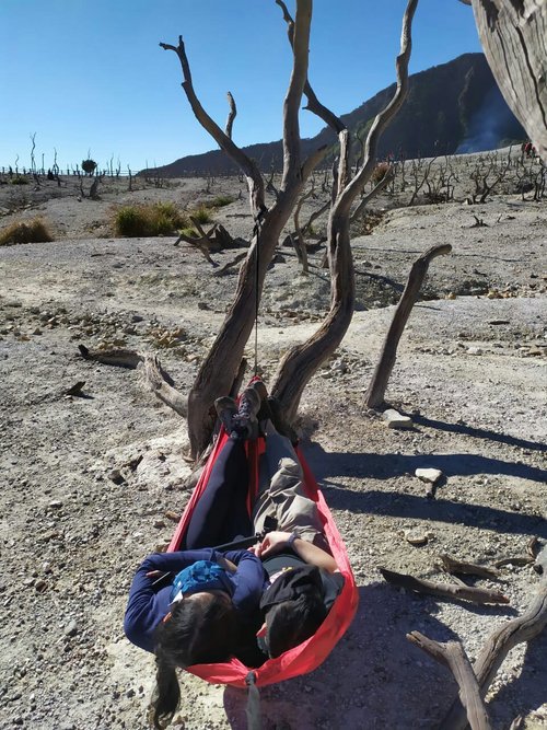
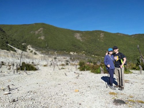
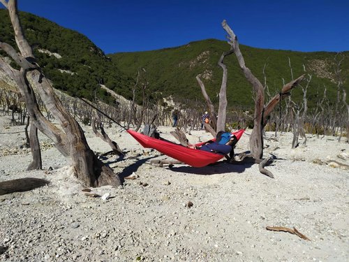
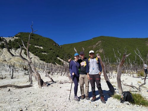
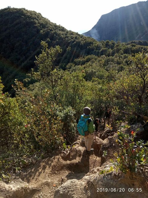
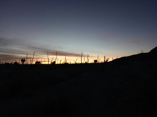
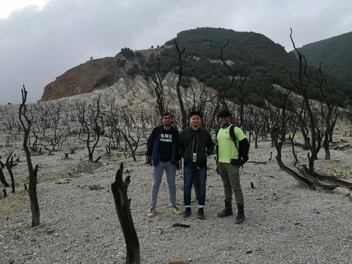
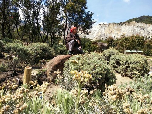
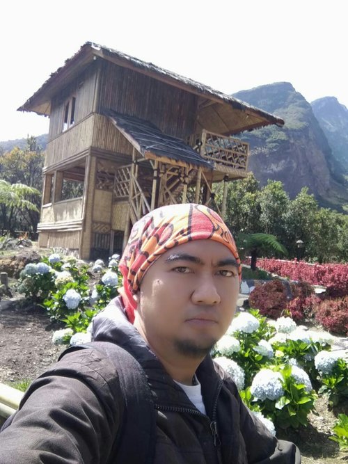
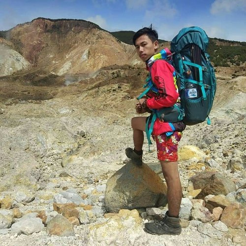
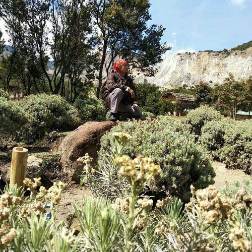
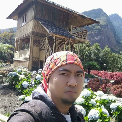
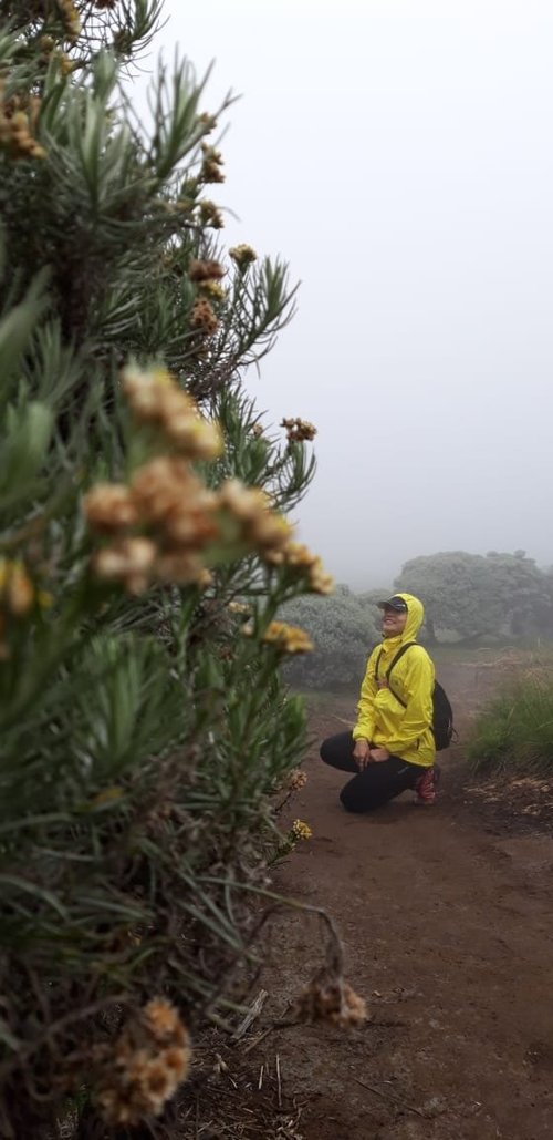
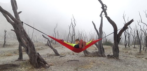
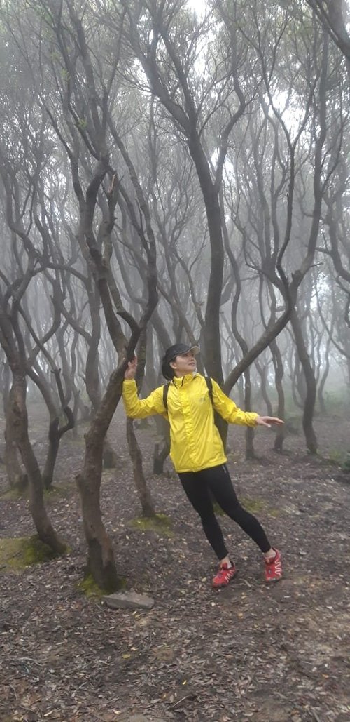
Since we hiked during New Normal, we must follow the specific rules and regulation. It was my 2nd hiked to Papandayan. The trail more less still the same as 1st trip. This time, we hiked with bigger group (total 15 persons with 3 young kids of 7 - 12 years). The weather was so nice during the hiking to Hutan Mati and Tegal Alun. Not many Edelweiss were blooming at that time due to dry season. After all, the trip was fun and enjoyed by everybody.
Address
15 km from Garut Cisurupan Regency, Garut 44163 Indonesia
Working hours
Monday : 12:00 AM - 11:59 PM
Tuesday : 12:00 AM - 11:59 PM
Wednesday : 12:00 AM - 11:59 PM
Thursday : 12:00 AM - 11:59 PM
Friday : 12:00 AM - 11:59 PM
Saturday : 12:00 AM - 11:59 PM
Sunday : 12:00 AM - 11:59 PM
Current local date and time now
Monday, May 13, 2024, 2:55
User Ratings
4.5 based on (215 reviews)
Reviews
-
5JAVA PRIVATE TOUR 5:00 PM Apr 20, 2019
Extraordinary exploration in Papandayan Mountain
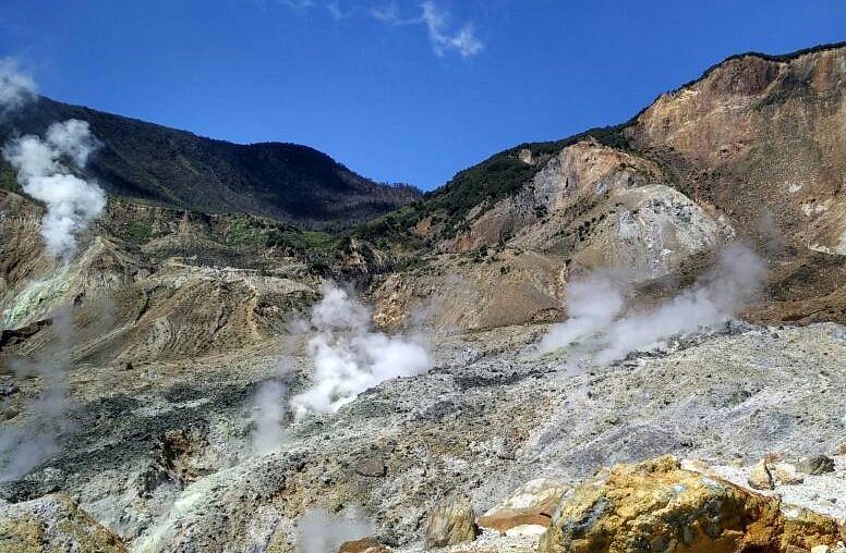
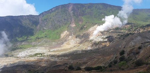
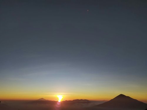
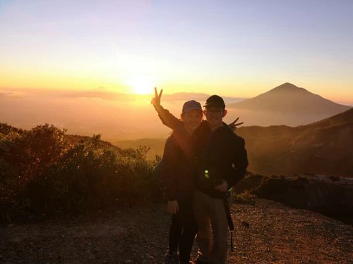
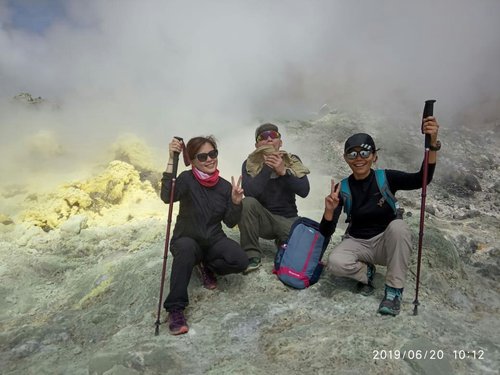
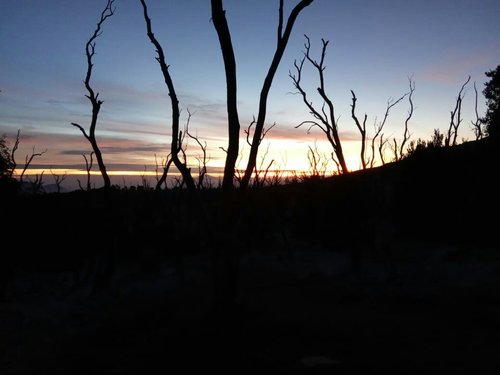
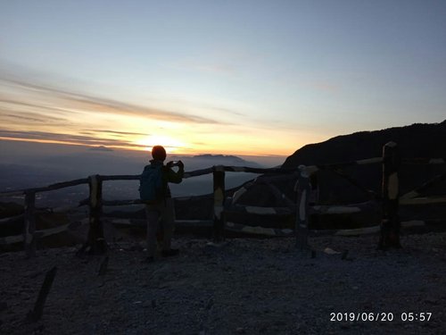
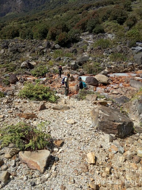
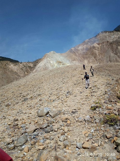
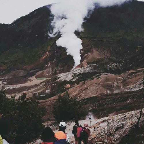
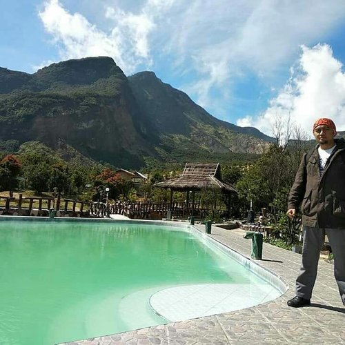
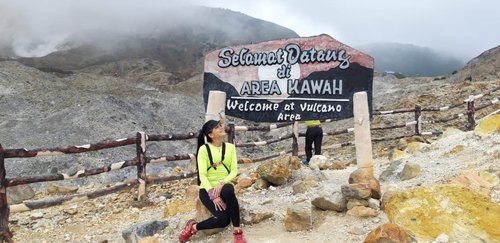
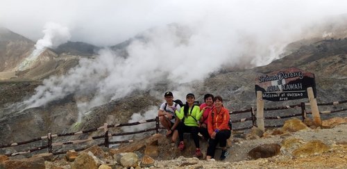
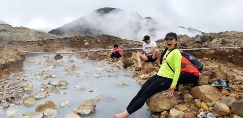
This mountain which has an altitude of 2665 meters above sea level is located in Cisurupan sub-district, Garut regency. Or about 70 km southeast of Bandung. The beauty of the panorama of Mount Papandayan in West Java has a million beautiful scenery from various sides,edelweiss flower fields and dead forests that are the main attraction of the mountain. And on Mount Papandayan, there are several famous craters,these include Mas Crater, New Crater, Nangklak Crater, and Manuk Crater.The craters emit steam from the inside. You can feel the cool mountain air while watching the greatness of God in creating natural paintings.


-
5Ken 5:00 PM Jul 7, 2020
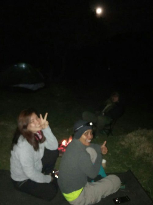
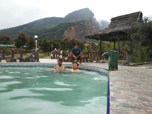
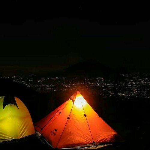
Would love to come back and camp there
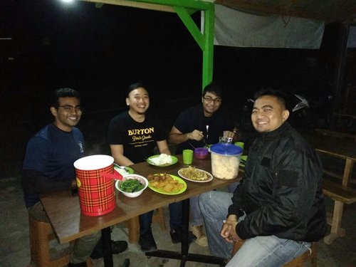
It is a beautiful mountain. If you're a beginner mountainer it'd be great place for you. You can do hike in just a day, I took about 6-7 hours in return. But you can do camping there. There are quite alot small restaurant that sell you foods, water at the bottom of the mountain.