Des Plaines River Trail, Illinois, United States
5.0 (2 reviews) Spent More than 3 hours Ranking #4 in River Grove Biking Trails • Nature & Wildlife Areas • Hiking Trails
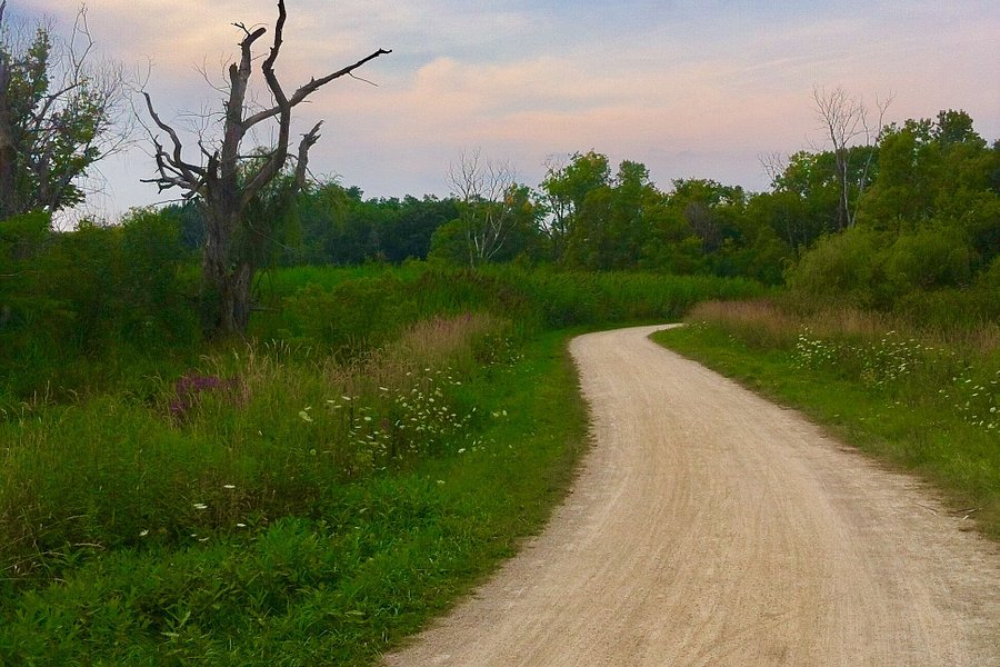
canoe launch
One of my favourite sections of the Des Plaines River Trail is the canoe launch at Route 60, east of Highway 21. It was featured in the 2019 Hike Lake County Challenge. Every year the Lake County Forest Preserve District chooses 12 local hikes and encourages participants to complete seven of them. Because the canoe launch path parallels the Des Plaines River, it can be submerged after heavy rains and flooding. However, if you hike during a dry spell, you will be rewarded with beautiful vistas, songbirds, and Disney-like chipmunks and squirrels.
Address
, River Grove, Illinois, United States.
Current local date and time now
Saturday, May 11, 2024, 19:57
User Ratings
5.0 based on (2 reviews)
Reviews
-
5Taylor B 5:00 PM Jul 4, 2016
All the way from North Avenue to Wisconsin
The Des Plaines River Trail is a recreational, multi-use, dirt and gravel trail that is 58.6 miles long and stretches from Chicago's Northwest Side through the forest preserves of Cook and Lake Counties in the near western suburbs all the way from North Avenue to the Wisconsin border. With 200-year-old oak groves, scampering deer and views of the river, it's a scenic wonder. How do you find it? Enter through the parking lot on Fullerton Avenue, just west of First Avenue, in River Grove. Take the path into the woods. You may be just a few hundred feet from the noise and hustle and bustle of the city but you wouldn't know it here. The only sounds are the chirping of the birds and the rush of the river. Trail uses include hiking, walking, jogging, bicycling, horseback riding, picniking and even winter cross-country skiing and snowmobiling and mountain biking. Other recreational activities available along the trail are boating and fishing. Towns connected by or adjacent to the Des Plaines River Trail include Gurnee, Libertyville, Lincolnshire, Des Plaines, Park Ridge, Schiller Park and River Grove. The trail is well marked with directional marked posts and mile markers to keep users going in the right direction. Though bicycling is the most popular way to use the trail, it is also used by hikers and horseback riders. Users are cautioned that the Des Plaines River Trail in Cook County is not as developed as it is in Lake County. The trail surface varies from dirt to gravel or crushed stone to some paved sections. Though not all sections of the trail connect directly, there is currently a 28-mile continuous section running through Lake County starting at Russell Road along the Wisconsin/Illinois state line and running south to West Riverside Road about a mile south of Route 22. Whatever section of the trail that you choose to navigate, you will be impressed by the calm and beauty of the natural environment. And you don't have to drive out of the city to find it.