Mount Holyoke Range State Park, Massachusetts, United States
4.5 (28 reviews) Spent Ranking #8 in Hampshire County Mountains
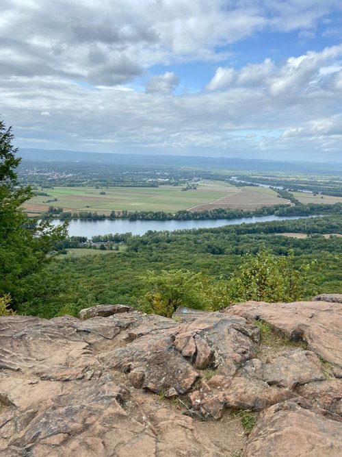
Beautiful Varied Trails, but not always well marked
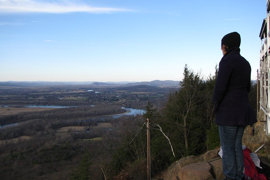
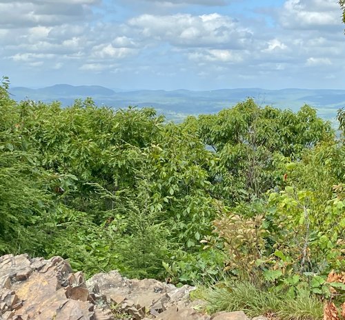
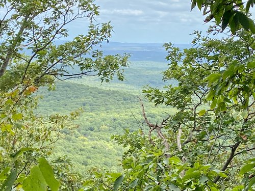
Beautiful trails and fantastic views but the trails could be better marked. There were a number of confusing points, hard to find markers, faded markers, markers seemingly between 2 trails. There were also a number of confused hikers, including one man who needed to follow us back to the visitors center. There is a good variety of trails, some easy, some challenging with a bit of rock scrambling. Free parking. Porta Pottys available currently.
Address
1500 West St, Amherst, MA 01002-3330
Mobile
Website
http://www.mass.gov/eea/agencies/dcr/massparks/region-west/mount-holyoke-range-state-park.html
Current local date and time now
Wednesday, May 15, 2024, 7:43
User Ratings
4.5 based on (28 reviews)
Excellent
60%
Good
36%
Satisfactory
0%
Poor
4%
Terrible
0%
Reviews
-
5John M 5:00 PM May 31, 2020
Out and back
My friend and I went there yesterday and decided to start at the Center in Amherst. We had a ball. We went from there to the Summit house and back. Both of us are very good hikers but we were up there for about 5 hours including lunch. A few places with nice views on the way and at the Summit house a lot but also a lot of people. All in all a very good day!!
-
5Wildflower01945 5:00 PM Sep 24, 2019
M-M trail between Notch Visitor Center east to Bay Rd. Section 8 (I think)
We started a bit late (10:30am) on a beautiful early September Sunday morning. The parking lot was full so we parked about 1/3 mile farther west on Route 116 in a large dirt pullout. There was a trailhead from this point but navigating to the Metacomet- Monadnock (M-M)/ Robert Frost (RF) trail was tricky. It's a good thing I had my All Trails app. Unfortunately my phone was not fully charged so I took pictures of the trails and forwarded them to my companion's phone. Later we discovered that it was okay to park across the street from the ranger station on a side road. This would have made the hike shorter and simpler. This section of the trail is heavily trafficked to Mt. Norwottuck then almost no one except in a short section where the trail intersects Harris Mountain Road. This is where people park and walk their dogs. It is about 8 miles with many ups and downs going over Mt. Norwottuck, past Horse Caves and over Long Mt. There are some views but mostly it is under the trees. There are a few steep places with stairs but mostly a lot of relatively flat walking in the woods. After Harris Mt. Rd. we did stay on the RF trail and ended at Bay Rd. under the power lines. The M-M (white blazes) and RF (red blazes) are the same trail for much of this hike. I have hiked the portion of the M-M trail (when going east, hang a right, following the white blazes a bit after Harris Mt. Rd.) which goes to Warren Wright Rd. This is a fairly easy hike and traverses private property, almost in back yards. I thought it was too close to residences and didn't feel very comfortable in some sections. On the very last part, at Bay Rd. there is a tiny cliff with a rope to help the climb down. This is fun. It think there is a Letterbox or geocache site at this point. I have not traveled farther east on this trail although I will at some point. We enjoyed it and were exhausted afterwards. We were in decent shape but hadn't hiked in a while and had gone to bed late the night before! I you found this review helpful, please press thank below.