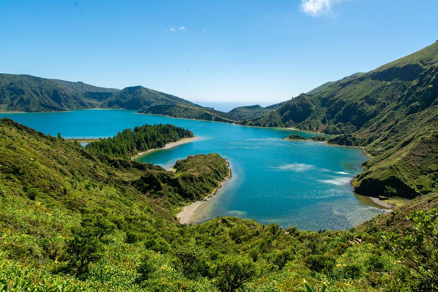
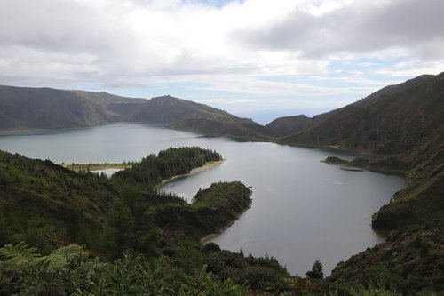
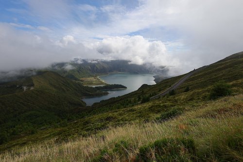
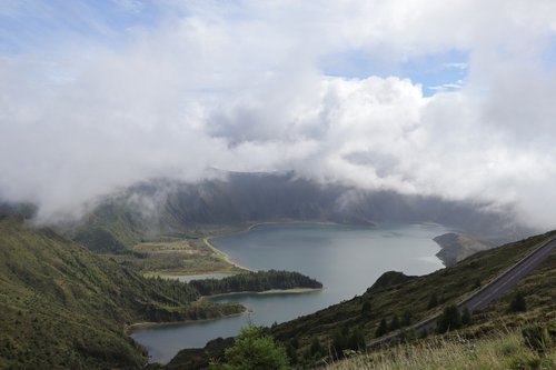
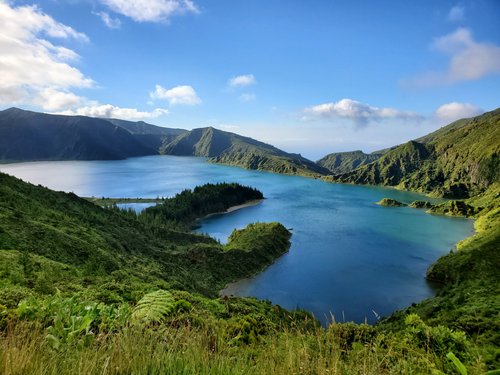
Lagoa do Fogo, Azores, Portugal
5.0 (2.014 reviews) Spent Ranking #3 in Sao Miguel Bodies of Water
Beautiful and picture perfect trip around the lake!
The journey is amazing around the lake. It is a great drive around with multiple viewpoints along the way. We elected to stop by the radio towers and hike up the hill there (probably under an hour round trip) as up top you are rewarded with better views of the lake and some paths there as well. Once you get to the spot by the derelict hotel you will see the amazing viewpoints of the lakes there (you’ll see a number of tourists and buses stop there). We personally felt you can get by driving around without doing much actual hiking, though there are paths available for you to traverse if so inclined. You can easily spend a few hours driving around and stopping for pictures. Please indicate if this was helpful to you as it will help me focus my future efforts!
Address
Miradouro da Serra Barrosa Agua de Pau, Portugal.
Mobile
Website
http://parquesnaturais.azores.gov.pt/pt/smiguel
Current local date and time now
Saturday, May 11, 2024, 12:45
User Ratings
5.0 based on (2.014 reviews)
Reviews
-
5Maxim S 5:00 PM Jul 10, 2021
Unforgettable view
Hiking the Lagoa do Fogo was my most memorable experience from the trip to Sao Miguel. The view from the miradouro was exceptional in the early morning light. The lake was engulfed in a serene atmosphere of quiet and isolation, with bird calls and tress rustling in the wind being the only sounds. Hiking down to the lake takes a mere 10-15 minutes.
-
5Michael R 5:00 PM Mar 2, 2020
Beautiful lake, great hike
Lagoa do Fogo is a beautiful volcanic lake near the centre of São Miguel. You could simply drive up to the viewpoint to see the lake, but if you have time I'd recommend doing the hike instead. Use these coordinates 37°43’40.0″N 25°28’17.5″W to find the parking spot, and then follow the signposted trail, which will take you through farmland, forests, mountain valleys, and finally to the lake itself. One of the nicest hikes I've ever done, taking about 2 hours each way. You'll want to pick a clear day if possible, to get the best views across the lake (weather can change pretty quickly in the Azores, so even if it's cloudy when you get to the lake you could wait for 30 minutes and it could clear up).