Flattop Mountain Trail, Alaska, United States
4.5 (945 reviews) Spent Ranking #11 in Anchorage Hiking Trails
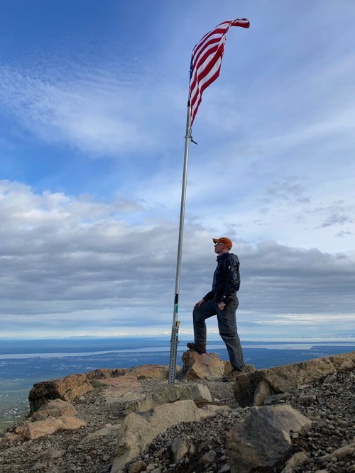
It’s Only Flat on the Top
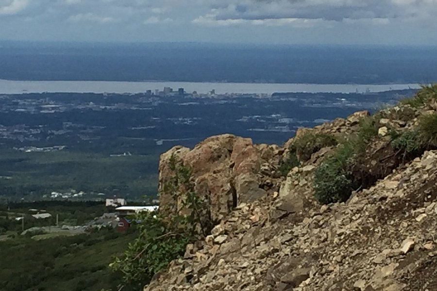
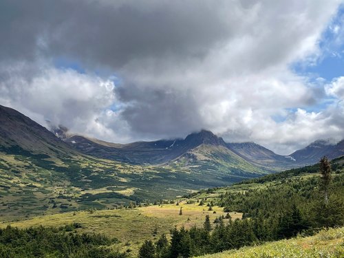
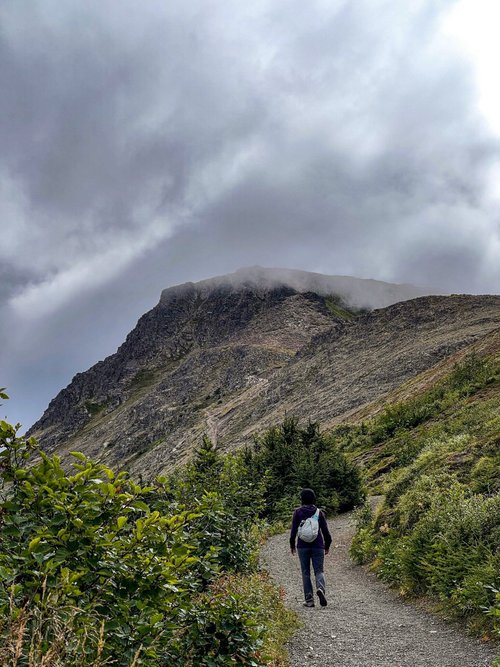
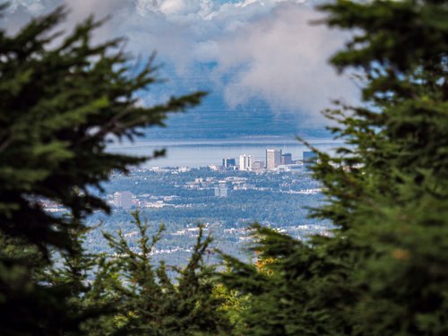
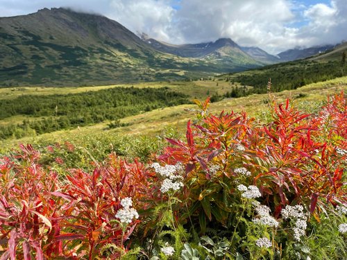
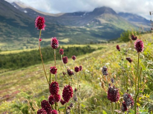
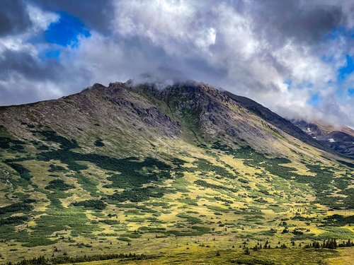
This is a very popular hiking trail for couples, families, and pets. About 1/4 mile above the parking lot, you’ll come to a fork in the Blueberry Loop trail; taking the left fork is the easier path to begin your ascent and has mountain and valley views. The right fork is steeper and longer and affords city and coastal views that you will experience at higher elevations after exiting the loop trail. The trail to the top becomes more difficult negotiating the staircases to reach the Saddle, which provides great 360-degree views on a clear day. The last 1/4 mile to the top gains about 1000 feet in elevation in a slow brutal scramble over loose rocks through crevices on a poorly marked trail if you’re determined to make it to the flagpole at the top. It’s easy hiking around the “martian” surface at the top. It took us about two hours to reach the top and one-hour to hike down with rests. Expect sore muscles and joints if you’re older or out of shape.

Address
13229 Glen Alps Rd, Anchorage, AK 99516-6967
Mobile
Website
http://www.hike-anchorage-alaska.com
Current local date and time now
Friday, May 10, 2024, 0:21
User Ratings
4.5 based on (945 reviews)
Reviews
-
5Nels 5:00 PM Aug 13, 2020
Fantastic views, varying grades of challenge, I see why its so popular
I read that this is one of the most most popular hikes in Anchorage and it is not hard to see why. It is accessible, being close to Anchorage and having two large parking lots (and other trails). It has beautiful views even before you read the top. And it gets more challenging as you go. So you can adjust the challenge for your group by how far you go. I went early on an overcast and somewhat rainy Monday morning. There was only one other car in the parking lot and I only saw one other human on the way up. It starts easy on a broad path and narrows and steepens as you go. The last bit up to the top is pretty much a "Choose your own adventure" as the trail doesn't really exist in all the rocks. It took me just under an hour from the start to the summit with a few stops for geocaches. The view from the top is fantastic and absolutely worth all the effort. It is also by no means the end and there are more trails if you want to keep going. I found a few more geocaches, enjoyed my time on the summit taking pictures, and then headed back down.
-
550StateVisitor 5:00 PM Aug 18, 2021
It’s Only Flat on the Top
This is a very popular hiking trail for couples, families, and pets. About 1/4 mile above the parking lot, you’ll come to a fork in the Blueberry Loop trail; taking the left fork is the easier path to begin your ascent and has mountain and valley views. The right fork is steeper and longer and affords city and coastal views that you will experience at higher elevations after exiting the loop trail. The trail to the top becomes more difficult negotiating the staircases to reach the Saddle, which provides great 360-degree views on a clear day. The last 1/4 mile to the top gains about 1000 feet in elevation in a slow brutal scramble over loose rocks through crevices on a poorly marked trail if you’re determined to make it to the flagpole at the top. It’s easy hiking around the “martian” surface at the top. It took us about two hours to reach the top and one-hour to hike down with rests. Expect sore muscles and joints if you’re older or out of shape.