Lost Horse Valley, California, United States
4.5 (23 reviews) Spent Ranking #21 in Joshua Tree National Park Valleys
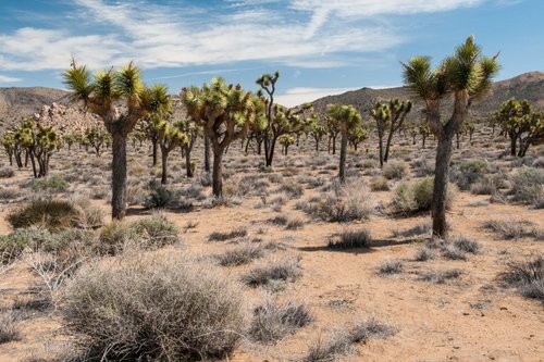
Lovely loop trail with some historic reminders
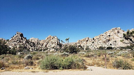
Located in Joshua Tree National Park this is a small-box canyon that provides great hiking trails.

Address
, California, United States.
Mobile
Website
http://www.nps.gov/jotr/planyourvisit/upload/LostHorse.pdf
Current local date and time now
Thursday, May 02, 2024, 22:11
User Ratings
4.5 based on (23 reviews)
Excellent
70%
Good
22%
Satisfactory
4%
Poor
4%
Terrible
0%
Reviews
-
5Ntalabany 5:00 PM Jan 6, 2020
Lovely loop trail with some historic reminders
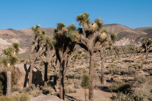
Love this loop. Done it a few times now and would recommend to do it anti-clockwise: The steeper part comes at the beginning, you can extend the loop by checking out the Lost Horse Mine (ca 30 minutes extra) and then you amble your way back, gently descending and finally strolling on sandy paths past cacti and Joshua trees. Once past the mine there are hardly any people on this trail. The mine is definitely worth visiting. The rusty equipment and exposed situation are a stark reminder of harsher times, scraping a living out of rock in the middle of nowhere.
-
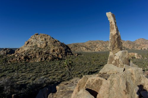
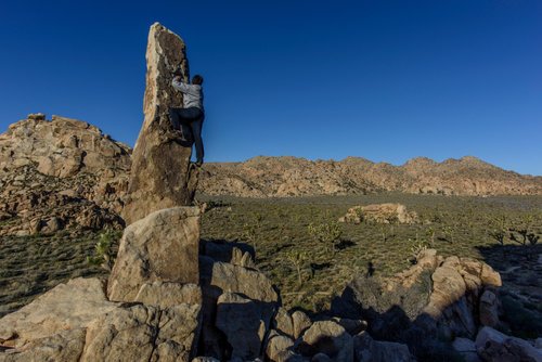
4TonyChao 5:00 PM Mar 22, 2016
Aiguille de Joshua Tree aka The Finger of Hercules
The Aiguille de Joshua Tree is to the East of the Lost Horse Ranger Station which cannot be reached by car. This is not even on the visitor brochure, and if you Google it you can only find this attraction from the rock climbing websites, and even there the direction is not that clear. Here's how to get to it: In Google Map search for Lost Horse Ranger Station. The road to that is off the main road (Park Blvd) heading South, it's a dirt, unpaved narrow road but well kept. Drive all the way down until you reach the sign Service Road Only and the Stop sign on a steel gate, park on the right hand side and walk across the road to an opening to a trail going Southeast. It's an easy flat trail and about 1/4 mile you'll see a wooden post sign saying Atlantis to the left and Jimmy Cliff ahead. Do not go the Atlantis direction and walk straight with rock formation on your left. Another few minutes you'll see the rock shooting up ahead of you. If you are a adventure seeker try to climb up to the top of the rock, I did try but unsuccessfully (see pictures)